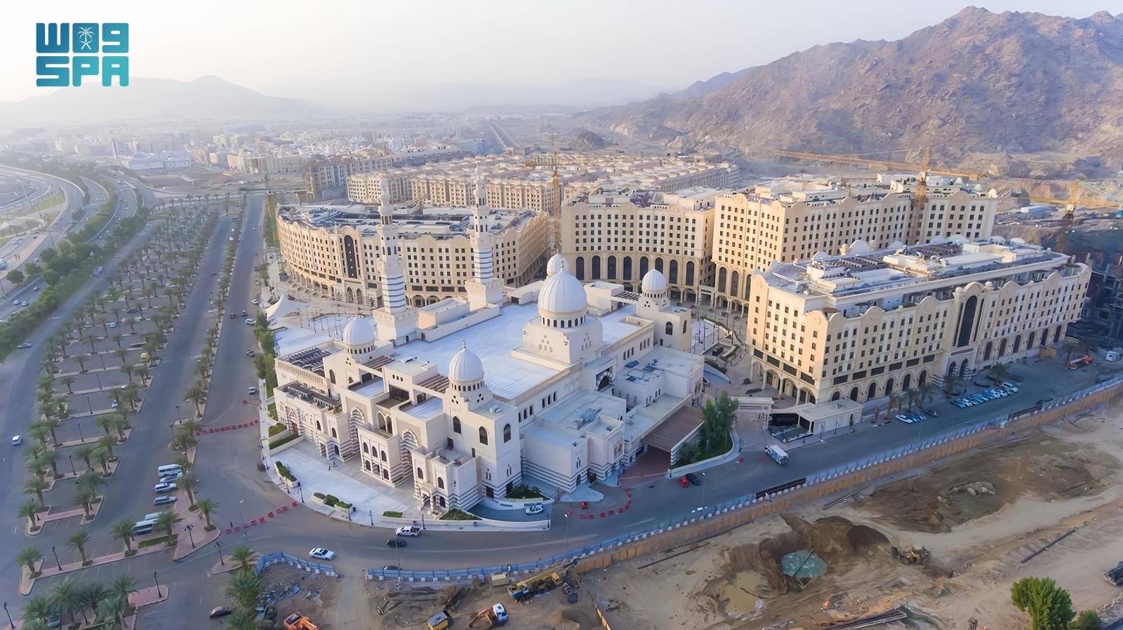
Unified Geospatial Platform: Enhancing Service Management Efficiency for Makkah City, Holy Sites

Makkah, August 07, 2024, SPA --Geospatial information systems have become vital for driving economic growth, maintaining security, accelerating development, and facilitating decision-making. They are also pivotal in fostering creativity and innovation by enabling the smart use of geospatial information to achieve sustainable development goals and ensure long-term economic growth.
The Royal Commission for Makkah City and the Holy Sites is making significant advancements in building an advanced technical platform with the launch of the Unified Geospatial Platform project for Makkah. This initiative aims to create a unified framework for the governance and utilization of geospatial data for the city, making it accessible through a single platform.
This project is the cornerstone of the Royal Commission's ambitious plan to integrate modern technologies with geospatial information systems. This integration supports Saudi Arabia’s Vision 2030 and the Royal Commission's strategic objectives to enhance service delivery in Makkah, improve city management efficiency, and provide an exceptional experience for citizens and visitors through high productivity and a diversified economy.
In recognition of its achievements, the Royal Commission for Makkah City and the Holy Sites received the Exceptional Performance Award in Geospatial Information Systems at the 2024 Esri World Conference. This award highlights the entities and users worldwide that demonstrate vision, innovation, leadership, and dedication in their use of geospatial information systems (GIS) technology. It reflects the Royal Commission’s commitment to developing Makkah according to the highest international standards.
--SPA


