


SLRB organises workshop on modern marine standards
Manama, May 24 (BNA): The Survey and Land Registration Bureau (SLRB) organised a four day specialised workshop in cooperation with the United Kingdom Hydrographic Office (UKHO), with the participation of experts in hydrographic surveying and navigation technologies.
The workshop supports the Kingdom of Bahrain’s proactive approach in adopting the latest international hydrographic standards issued by the International Hydrographic Organisation (IHO), in line with International Maritime Organisation (IMO) regulations.
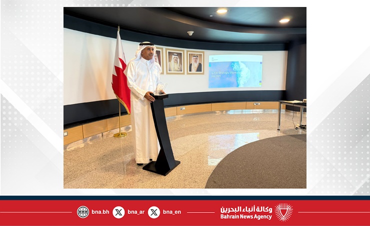
Basem bin Yaqoub Al Hamar, President of the SLRB, said that the workshop aligns with the Bureau’s strategy to transition to modern international standards in hydrographic surveying. He noted that the adoption of S-100 standards plays a key role in improving the quality of marine data, enhancing digital transformation, and expanding specialised international cooperation.
He added that adopting the S-100 framework is a core component of the Bureau’s strategic plan, strengthening Bahrain’s position as a leading regional maritime hub. The initiative supports infrastructure and transport development, promotes institutional integration with other government bodies, and advances sustainable maritime economic capabilities.
Al Hamar explained that evaluating hydrographic activities according to S-100 standards helps assess readiness in terms of equipment, personnel, and technical infrastructure. The effort includes a comprehensive five year plan covering training, funding, and resources to ensure a smooth and sustainable transition. He added that the Bureau is preparing to convert navigation data and charts to S-100 standards to improve maritime safety, reduce incidents, and enhance the availability of accurate and real time data to support navigation and decision making.
The S-100 standards, developed by the IHO, provide a new framework for managing digital marine data. They enable integration with modern navigation systems and support diverse content such as depth, currents, and environmental information. The standards are set to become mandatory for ships worldwide starting in 2029.